
[ For Survey Teams ]
The whole site on one map, before the crew rolls
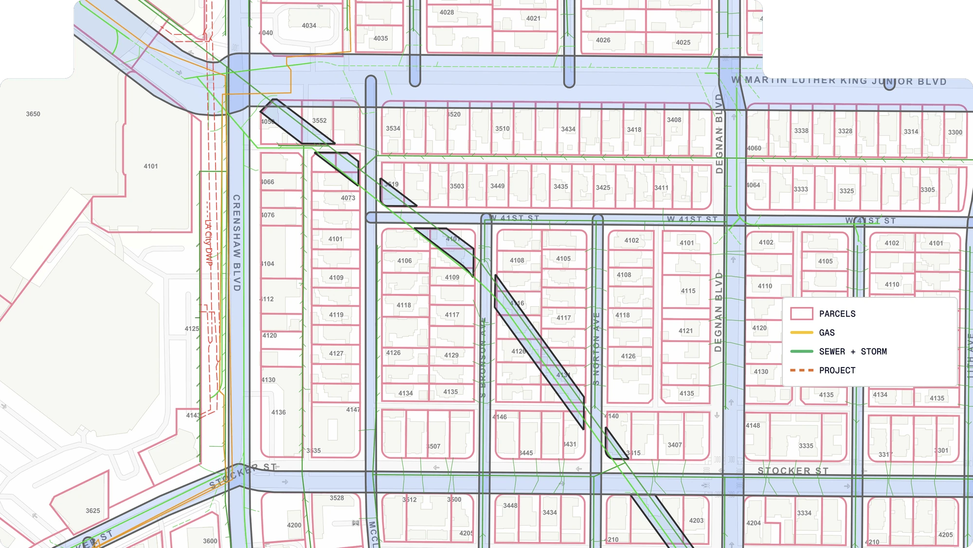
Crews often mobilize with a county parcel map, easements buried in deeds, and utilities scattered across a dozen record drawings, and whatever gets missed means a second site visit. CivilGrid puts sourced parcel, land-rights, and utility data on one map before the crew heads out, including boundaries, monuments, easements, right-of-way, and the utilities inside those lines.











.svg)

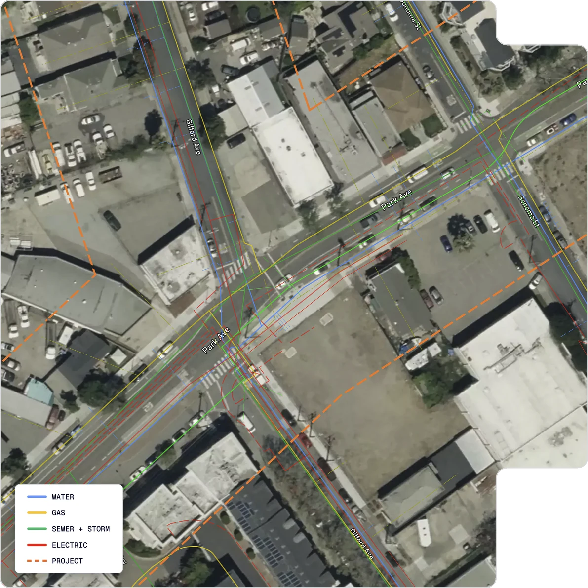
Plan the visit, capture the site, and deliver from one map
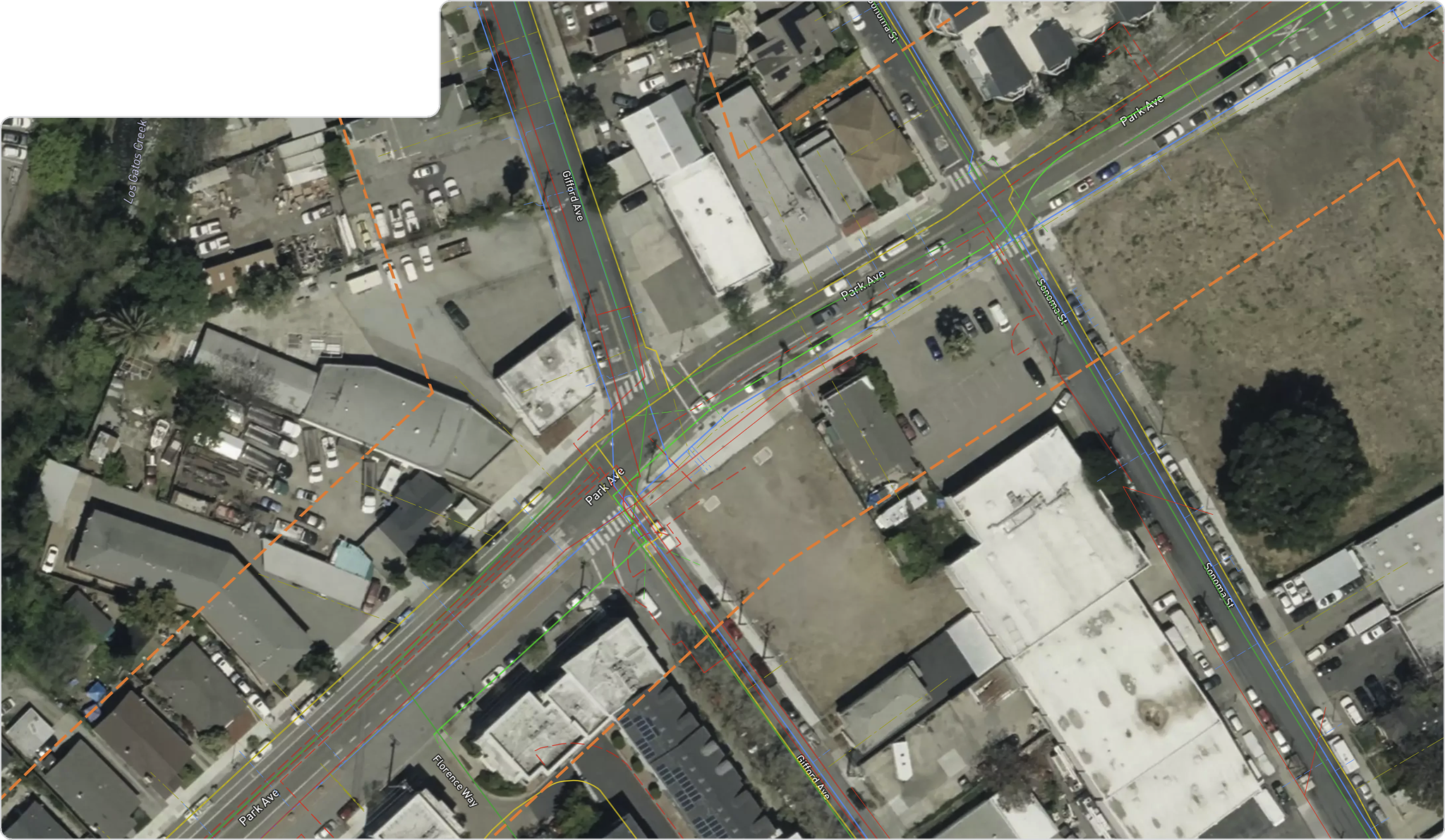
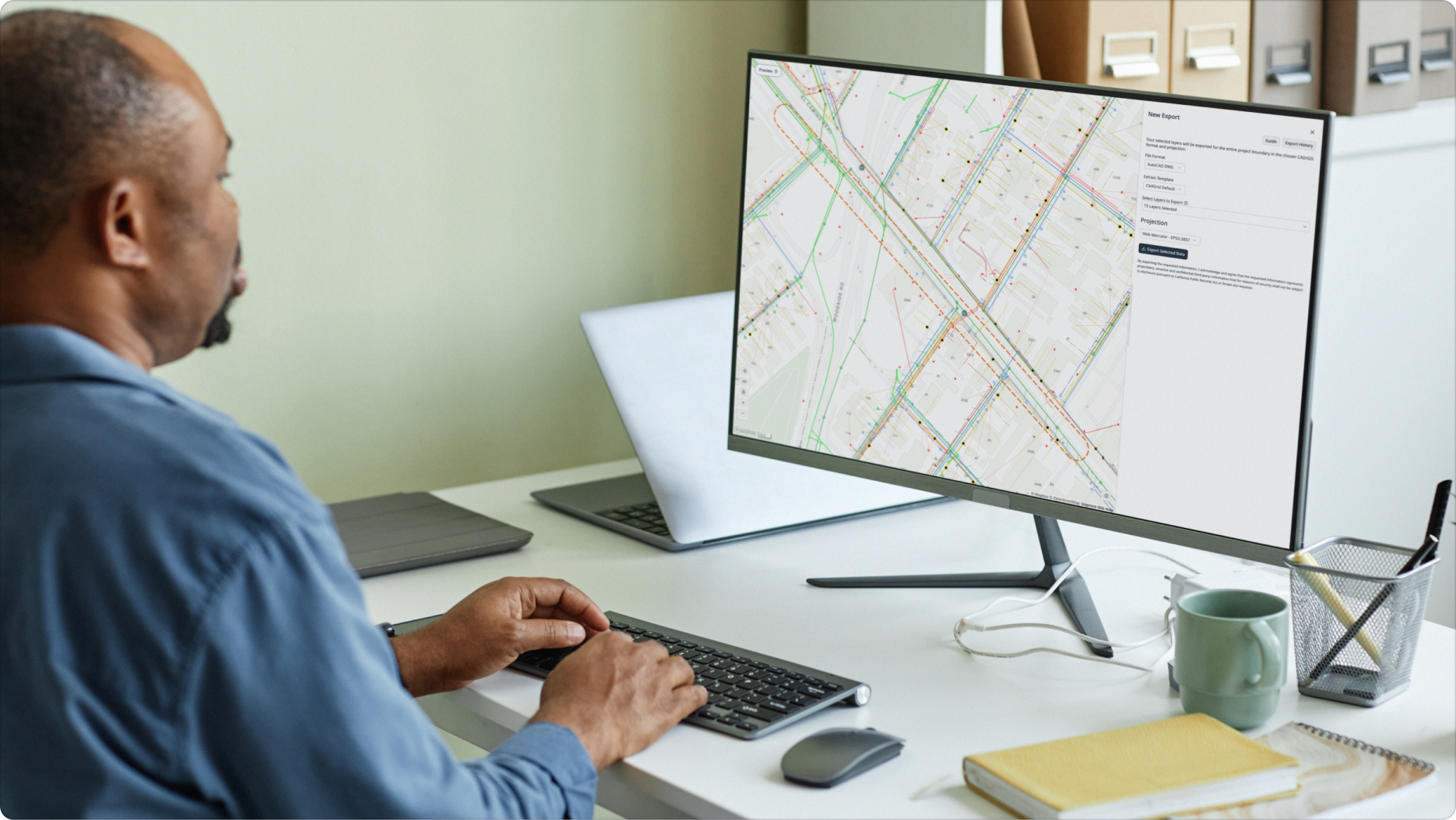
The map used to scope crew hours should be the map crews use in the field—and the same record that feeds the final CAD deliverable. CivilGrid keeps parcel, land-rights, utility data, photos, notes, and measurements connected across the workflow.
[ From the field ]
Trusted where the data matters most
Results measured on live projects by the engineers and utilities who run them. Pick a team to see what changed.
CivilGrid keeps showing its value to me every time I use it. I urge my team to use it on every proposal or project that has a utility component to be even more efficient. Their services keep getting more comprehensive over time and replaces other standalone applications we were using.
CivilGrid is a great tool for our pipeline projects for providing instant access to utility information during the planning and early design stages, identifying affected agencies along an alignment, and capturing field observations that aid in decision making for our designs.
CivilGrid’s ability to consolidate all project records and requests into a single platform has been incredibly convenient. We no longer need to juggle multiple systems or contact various agencies. Overall, CivilGrid has exceeded our expectations. It’s become an indispensable tool for our projects.
CivilGrid’s data specialists are top notch. They are always ready to answer questions, lend assistance, and make product changes to help us work better.
I recommend CivilGrid to all utilities. They are a reliable source for the vital combined utility information that doesn’t exist in most areas.



FAQs
