
[ PLATFORM · DATA ]
Comprehensive Site data you can trust.
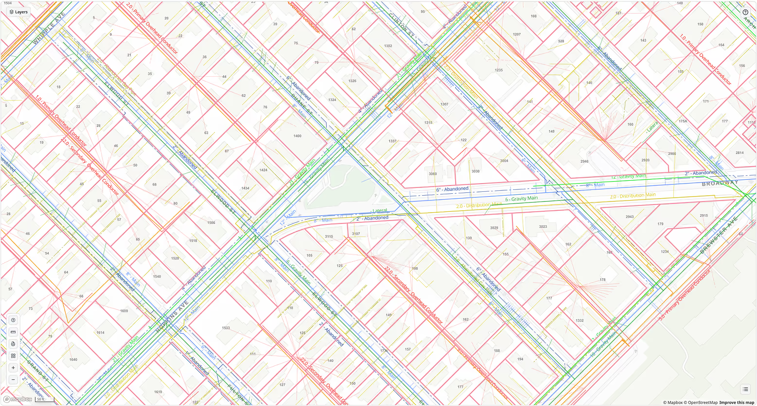
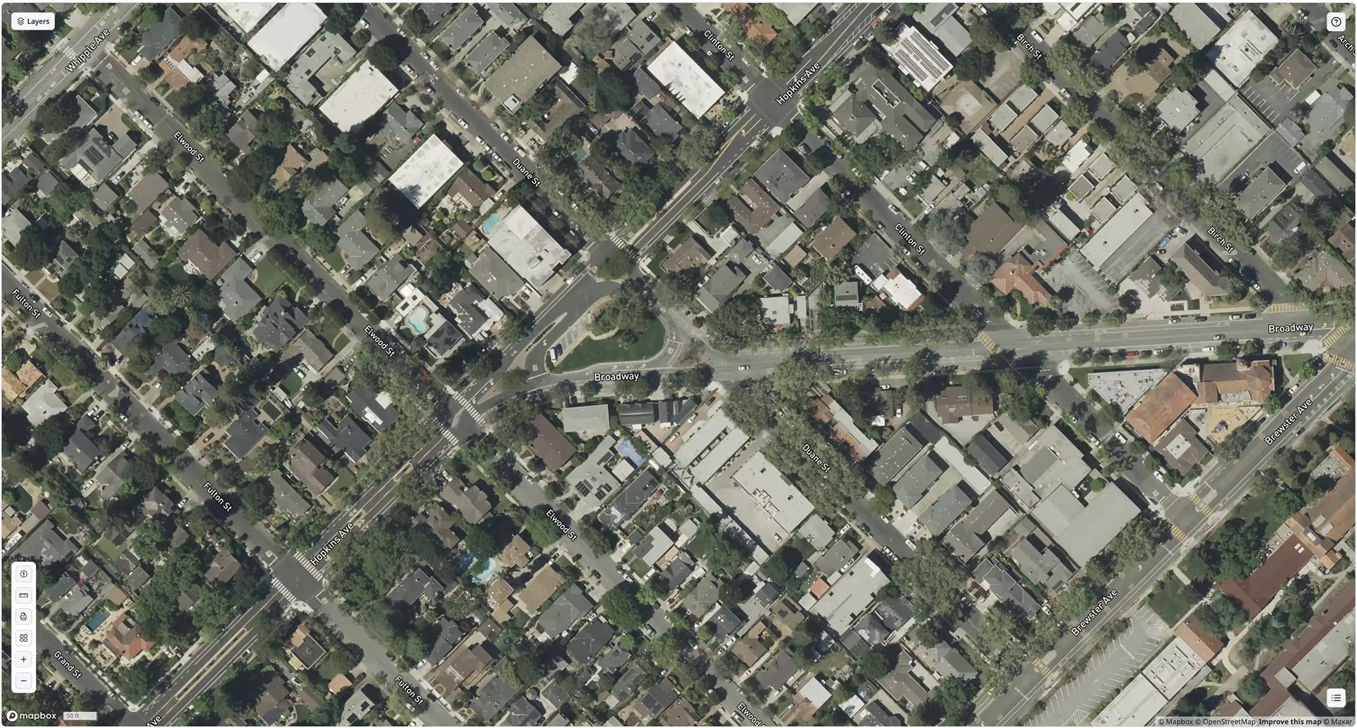
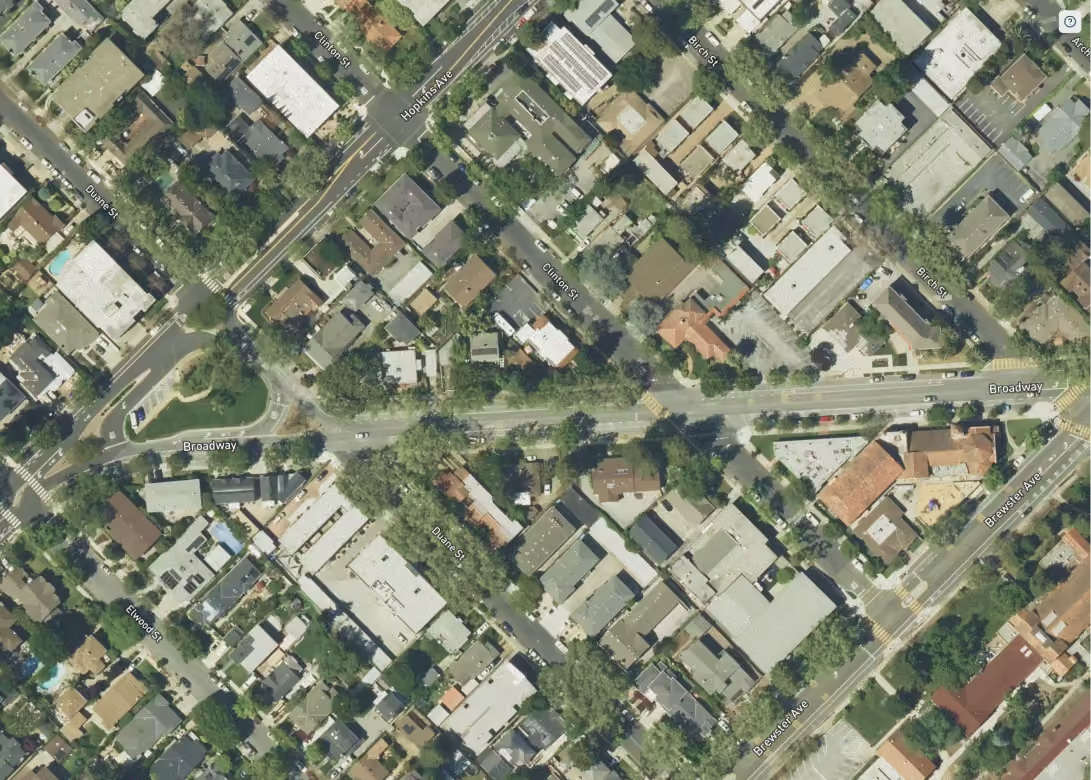
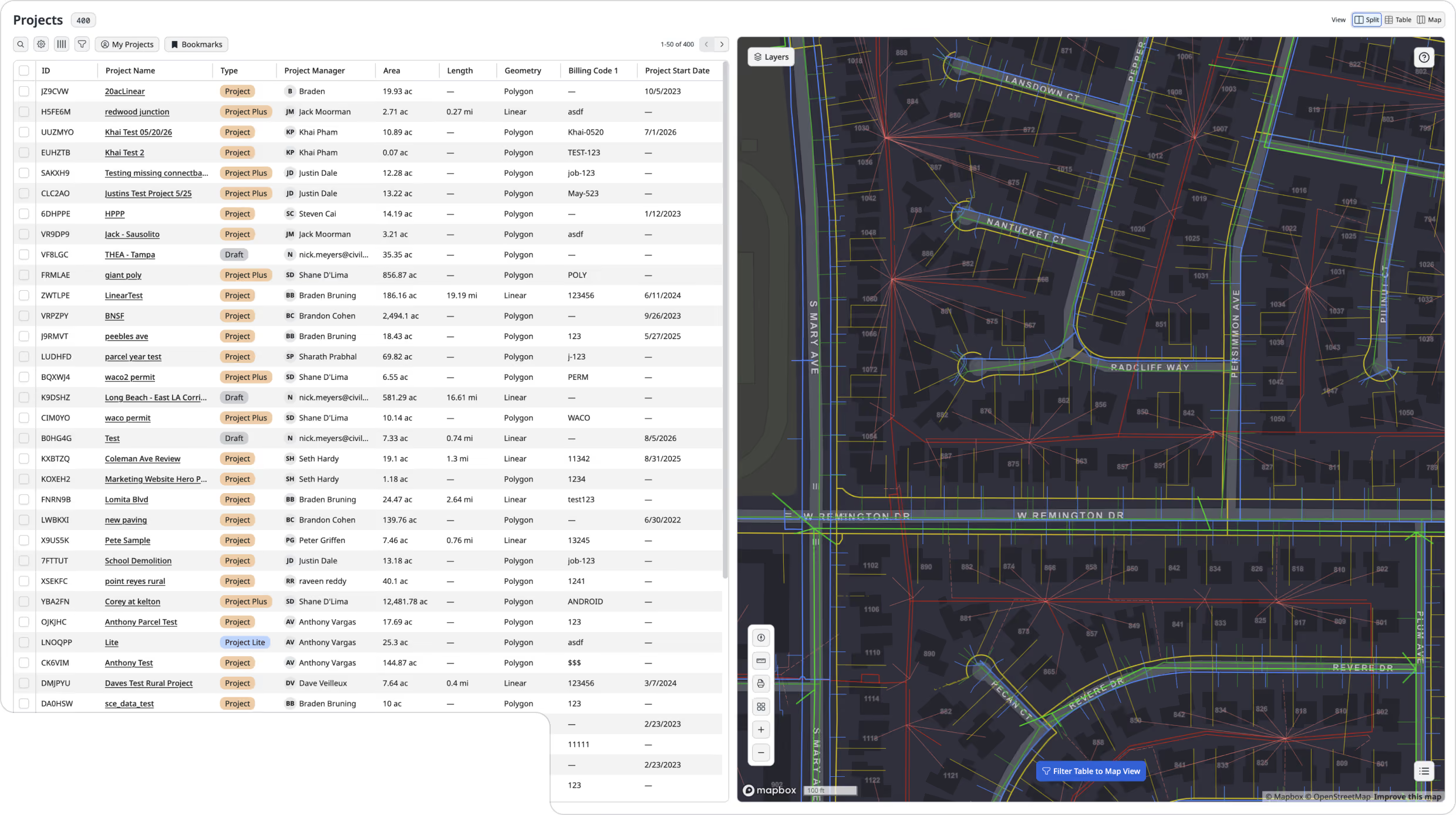
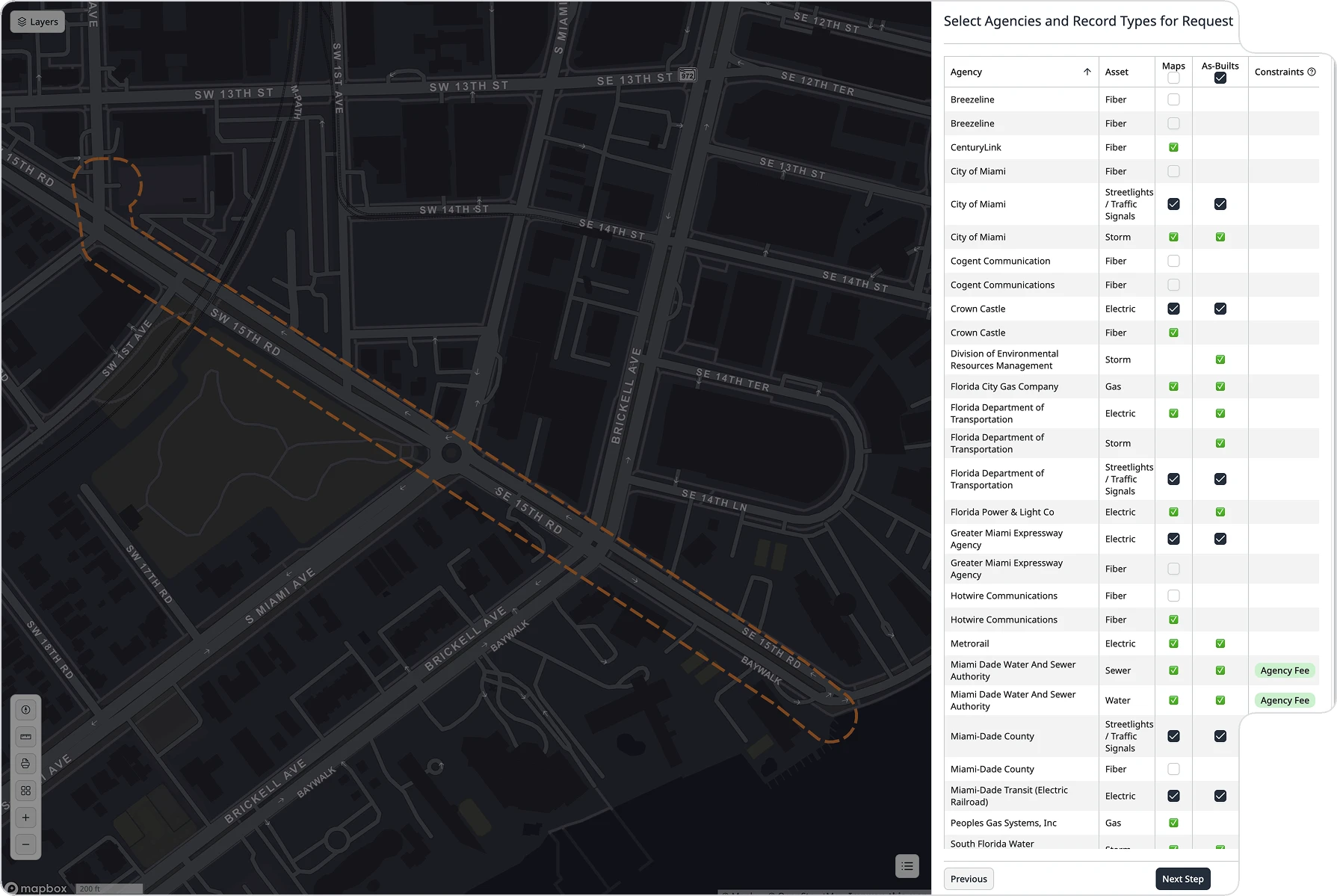
Utility research and basemap creation can take months and still leave gaps. CivilGrid sources utility, land rights, environmental, and geotechnical data directly from more than 100,000 owners into one basemap, with chain-of-custody documentation your team can trace, stamp, and stand behind.










.svg)

.avif)
.avif)
QL-D site data straight from the source
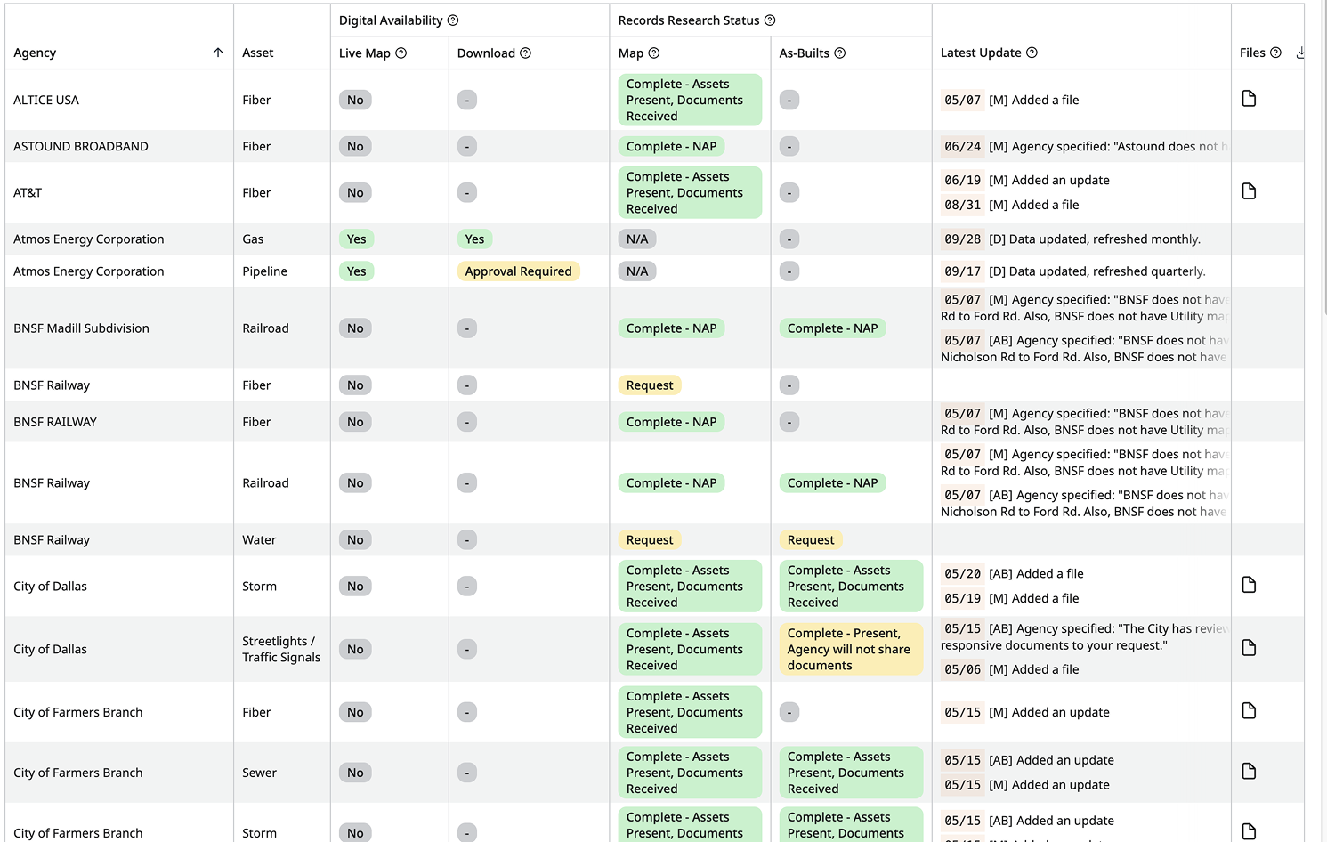
CivilGrid preserves the source, request history, map metadata, and handling trail behind each record in ASCE 38-22 compliant chain-of-custody documentation, so engineers can judge what they have before deciding what to verify next.
.webp)
.png)
[ From the field ]
Trusted where the data matters most
Results measured on live projects by the engineers and utilities who run them. Pick a team to see what changed.
CivilGrid keeps showing its value to me every time I use it. I urge my team to use it on every proposal or project that has a utility component to be even more efficient. Their services keep getting more comprehensive over time and replaces other standalone applications we were using.
CivilGrid is a great tool for our pipeline projects for providing instant access to utility information during the planning and early design stages, identifying affected agencies along an alignment, and capturing field observations that aid in decision making for our designs.
CivilGrid’s ability to consolidate all project records and requests into a single platform has been incredibly convenient. We no longer need to juggle multiple systems or contact various agencies. Overall, CivilGrid has exceeded our expectations. It’s become an indispensable tool for our projects.
CivilGrid’s data specialists are top notch. They are always ready to answer questions, lend assistance, and make product changes to help us work better.
I recommend CivilGrid to all utilities. They are a reliable source for the vital combined utility information that doesn’t exist in most areas.



FAQs
